


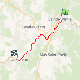

15.8 km | 25 km-effort


User


FREE GPS app for hiking
 SityTrail
IGN / Geographical institutes
SityTrail World
The world is yours!
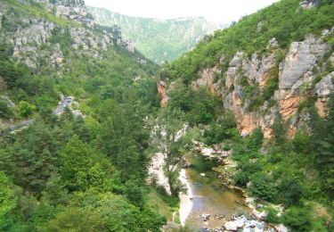
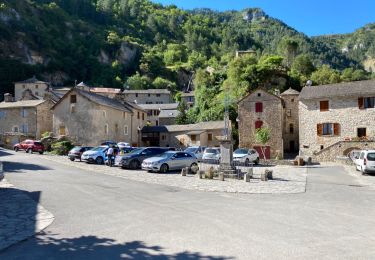
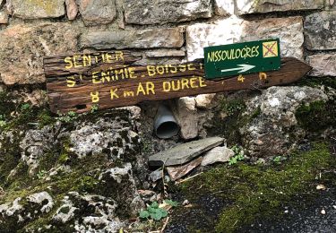
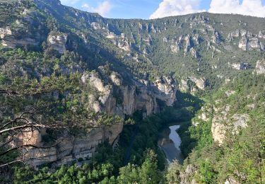
Trail Walking of 15.5 km to be discovered at Occitania, Lozère, Gorges du Tarn Causses. This trail is proposed by nolsim.
Ste Enimie - La Malene
Etape courte et agréable. Dénivellé faible. Traversée des jolis villages de St Chély du Tarn et Hauterives avec de beaux points de vue.


Walking
Walking

Walking
Walking
Walking

Walking

Walking
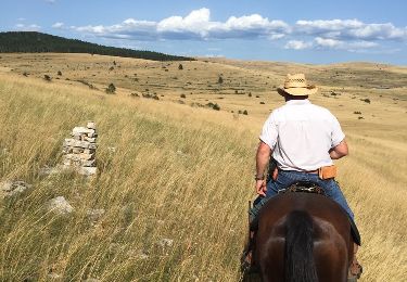
Equestrian

Equestrian